


 Francais
 Deutsch
 Italiano
Refine Your Search
+"Japan" +1946 stock footage and images
- Showing 229 to 234 of 317 results more
more Hide
Hide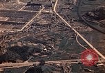
An aerial coverage of a harbor area, ships anchored at the harbor and ships underway in Nagasaki, Japan after World War II.
An aerial coverage of Nagasaki, Japan to show the atomic bomb damage which occurred during World War II. Aerial views of roads and paths of the city. Flight lines and a view of the city. A harbor area, ships anchored at the harbor and ships underway.
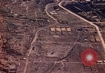
An aerial coverage of the general vicinity of a harbor area in Nagasaki, Japan after World War II.
An aerial coverage of Nagasaki, Japan to show the atomic bomb damage which occurred during World War II. Aerial views of roads, an air strip and barracks. A harbor area and ships underway at sea.
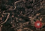
An aerial coverage of tightly packed homes, a highway and the Torpedo Test Basin Plant in Nagasaki, Japan after World War II.
An aerial coverage of Nagasaki, Japan to show the atomic bomb damage which occurred during World War II. Aerial views of a mountain top. Shows a valley below with tightly packed houses. A highway at the crest of the mountain and passing over the end of the city. Fire breaks can be seen. The Urakami Ordnance and Torpedo Works. The Torpedo Test Basin Plant.
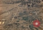
An aerial coverage of Medical College, Urakami Cathedral and Urakami Ordnance Plant to Reservoir in Nagasaki, Japan.
An aerial coverage of Nagasaki, Japan to show the atomic bomb damage which occurred during World War II. Aerial views of a Medical Center, Zero Point, Medical College, Urakami Cathedral, Kindergarten School and Engineering School, Urakami Ordnance Plant to Reservoir.
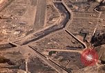
An aerial coverage of a valley, a residential area, a cathedral and tightly packed homes in Nagasaki, Japan after World War II.
An aerial coverage of Nagasaki, Japan to show the atomic bomb damage which occurred during World War II. Aerial views of ground zero, a Medical Center, the center of city, a valley and untouched portions of a residential area. A cathedral and tightly packed homes.
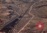
An aerial coverage of an air strip, hills and mountains in Nagasaki, Japan after World War II.
An aerial coverage of Nagasaki, Japan to show the atomic bomb damage which occurred during World War II. Aerial views of a former industrial section and now an air strip. A residential area surrounded by hills. The hills and mountains.